BIG AL'S Trail Recommendations

We have hundreds of miles of mountain bike trails in Crested Butte area. From scenic beginner loops to epic back country adventures. In addition to the trails in the National Forest and surrounding area, we have an awesome bike park at Crested Butte Mountain Resort. There are a variety of gravel loops to explore also.
At Big Al’s we always recommend a good map when heading out into the backcountry. We have maps for sale in our on-line shop, and in the store. There are also a variety of Apps that are useful for researching trails in our area. Our favorites are TrailForks, MTB Project and the CBGtrail App (cbgtrails.com) that is specific to our area. Also, visit our local mountain bike association website at crestedbuttemountainbike.com for current trail conditions, maps, and a complete list of area trail descriptions.
Top Beginner Trails
Access: Ride from Shop / Town
Style: Loop / Out and Back Options
Length: 9 miles
Technical Ability: Easy
Aerobic Ability: Easy
The Lower Loop offers a variety of options for riders looking for an easy and scenic ride. The terrain will vary from very beginner to beginner / intermediate. You will ride thru aspen groves, wildflowers and see beautiful mountain vistas. The Lower Loop has it all.
Access: Ride from Shop / Town
Style: Loop
Length: 12 miles
Technical Ability: Beginner, Beginner / Intermediate
Aerobic Ability: Moderate
Parking Info: If you choose to drive to a trailhead to start this loop YOU MUST PARK ON THE SLATE RIVER ROAD AT THE END OF LUPINE 2. There is no parking or shuttling access on the Gothic road end of the trail. If you park on Slate River Road you are parking at the end (bottom) of the trail. DO NOT RIDE UP THE TRAIL FROM HERE, THIS IS NOT THE RECOMMENDED WAY TO RIDE THIS TRAIL. The correct way to ride the Lupine from this parking area is to ride back out the road to Gothic Road, up Gothic to Saddle Ridge and up Saddle ridge to the start of the Lupine Trail. You will end the ride at your car.
Recommended Route: Ride from town up the Rec Path to Saddle Ridge to access the Lupine Trail. Ride the Lupine sections 1 and 2. At Slate River Road go right
out the road to find Gunsight Pass. Cross the
walking bridge and find the Lower Loop trail down the road to the Left. Follow the Lower Loop into town.
Access: Drive to Trailhead on Ohio Pass
Style: Loop
Length: 8 miles
Technical Ability: Easy
Aerobic Ability: Moderate
Lily Lake is a nice easy and scenic ride 7 miles up Kebler Pass. It has some non-technical but steep climbing at the beginning but then takes you to a nice plateau with a beautiful lake and views of the Castles off in the distance.
Options: You can also access this trail by riding from town or the Kebler Wagon Trail parking area. Both options add miles, but not difficulty. I do not recommend riding on Kebler Pass with children, there is a lot of traffic and the road is narrow.
Top Intermediate Trails
Access: Ride from Town
Style: Loop linking multiple trails
Length: 23 miles
Time: 3-5 Hours
Technical Ability: Intermediate
Aerobic Ability: High
This loop is a longer ride from town to town that takes you on 3 awesome trails ranging in difficulty from Intermediate to beginner.
Option 1: Get a ride to the Snodgrass trailhead to save you the climb up the mountain (about 40 minutes.)
Bail Outs: There are 2 bail out points on this loop if you’ve bitten off more than you can chew. You can bail down the Rec Path after Snodgrass, or out Slate River Road after the Lupine.
Access: 2 routes from town, or drive to Brush Creek Trailhead.
Style: Loop linking multiple trails if you ride from town
Length: Strand only = 9 miles, from town 20 miles
Time: Strand only 1.5 hours, from town 2.5-4 Hours
Technical Ability: Intermediate
Aerobic Ability: High
Strand is one of my all time favorite trails in the CB area. It has it all, a hard climb, to a fun fast descent that is mostly smooth and flowy with some rooty rocky stuff mixed in to keep it spicy! Drive out for a quick evening lap or ride from town via the Upper Loop for a solid ride.
Option #1: Ride from town via the Dehli Trail. This is the easier way to access this ride from town. A cruise out a gravel bike path to Brush Creek road and about 15 minutes on the road will take you to the trail.
Option #2: Ride from town via Tony’s and the Upper Loop / Bridges trail system. This is the more advanced option for getting out to Brush Creek road. The Upper Loop and Bridges are solid Intermediate / Advanced Intermediate trails (Beginners will not be happy on these trails). That being said, if you have the ability go this way, you get to ride awesome trail right from town to get out to Brush Creek and then off to Strand you go!
Access: Drive to Judd Falls trailhead.
Style: Loop
Length: 14 miles
Time: 2.5 – 4 Hours
Technical Ability: Intermediate
Aerobic Ability: High
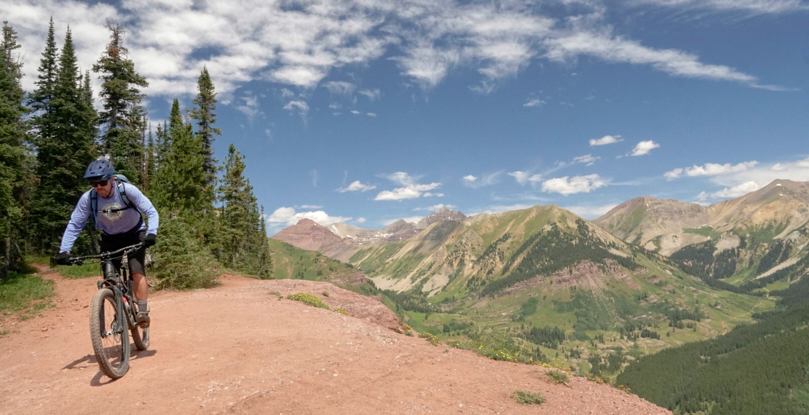
This is it folks, the trail everyone wants to ride in CB. It is our most iconic trail, known for its hard climb, and flowy descent but mostly for it’s scenery. Hit 401 at the right time and you will be graced with fields of wildflowers as high as your handlebars. It is quite the experience!
Option #1: Drive to the Rustlers Gulch trailhead. This gets you on the most scenic part of the ride, skipping the lower “bonus” section that can be hard if you are tired out.
Option #2: Ride from town or the Snodgrass Trailhead. This will get you out of the car sooner and enjoying the beauty of the Gothic corridor from your bike seat.
Top Advanced Trails
Access: Drive to parking lot outside North Bank Campground on Taylor Canyon.
Style: Loop
Length: 18 miles
Time: 2.5 – 4 Hours
Technical Ability: Advanced
Aerobic Ability: High
Dr’s is by far one of the best descents in the valley. It’s got it all, fast and flow and chunky rock. You will not be disappointed.
Option 1: You can shuttle out the 9 mile climb up Spring Creek road if you have 2 vehicles.
Access: Ride from town, or Drive to parking at the split of West and Middle Brush Creek Roads.
Style: Loop
Length: From West Brush Creek parking = 15 mi. from town = 27 mi.
Time: 2.5 – 4 hours
Technical Ability: Advanced
Aerobic Ability: High
This ride was once named “hardest climb” in Bike Magazine. They were not exagerrating, it is tough! The views from the top are well worth the effort and not to mention the awesome descent.
Option #1 aka the long version: Ride from town via the Upper Loop / Bridges trails. Hit the Canal trail on your way back in!
Access: Drive to Deadman’s Trailhead out Cement Creek Road.
Style: Loop
Length: 20 miles
Time: 3 – 4 Hours
Technical Ability: Intermediate
Aerobic Ability: High
This is a CB classic and one of my personal favorites. It’s a great long backcountry loop with a little bit of everything. Three good climbs and 3 awesome descents, woohoo!


